|
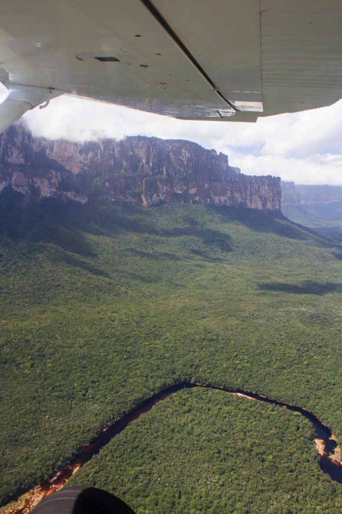 |
| The nearly dry Rio Churún from Angel Falls | |
| Latitude: N 6°3'43,16" | Longitude: W 62°34'8,27" | Altitude: 1088 metres | Location: Guarimba | State/Province: Estado Bolívar | Country: Venezuela | Copyright: Ron Harkink | See map | |
| Total images: 70 | Help | |